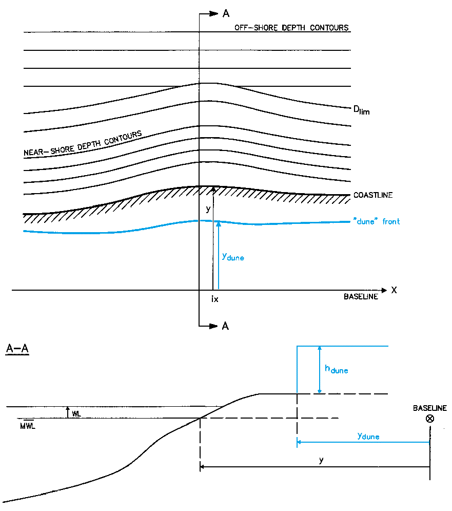
You have the option to include the influence from dunes. The sediment material from eroding dunes acts as a source of sediment during the morphological simulation.
When including dunes you have to specify the distance from the baseline to the dunes as well as the dune height along the coastline.
The data must be defined in a dfs1 file. The file must have the same extension and grid spacing as the Shoreline data file.
Figure 5.8 Definition of dune position and dune height
![]()