From this dialogue and data tree branch, you can control the map overlays and size of the map view in the rest of the dialogues.
In any map view in the Setup Data tab, you can right click and chose Zoom In from the pop-up menu. The enlarged view of your map is persistent across all of the map views in the Setup Data tab, as well as to the Processed Data tab.
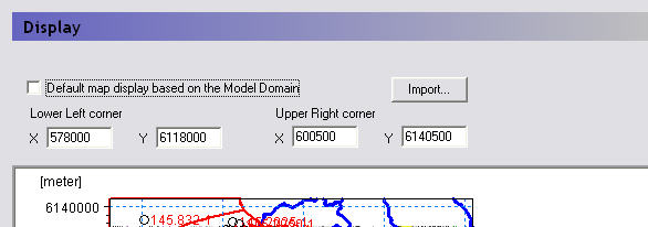
Also in the right click pop-up menu is a Zoom Extents function, which zooms the map view out to the full extents. By default, the maximum extents of the map view in the MIKE SHE dialogues is set to the size of the model, as defined in the Model Domain and Grid dialogue. However, un-checking the checkbox,

you can chose to set the lower left and upper right coordinates of the maximum extents of the map view.
Import - The Import button allows you to read the coordinate extents from a map file, such as a .dfs2 file or a .shp file.
Note: The correct display of overlays requires that your Color Settings (found in your computer’s Display Properties dialog) are set to Highest (32-bit). If your computer is set to 16-bit colours, a warning message will appear. This is not normally a problem, except that some display devices, such as older data projectors, will automatically reset your colour settings.
Related Items:
· Model Domain and Grid (V1 p. 224)
![]()