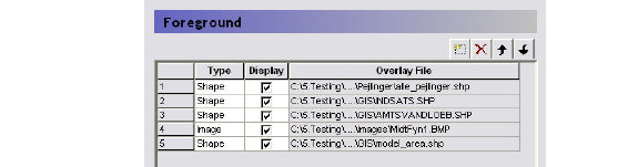
The Foreground and Background items are used to add map overlays to the map view. The table gives you an overview of the defined overlays and allows you to add, delete and hide overlays.
The order of the overlays in the list controls to some extent the way the overlays are displayed. Furthermore, the Foreground/Background choice determines whether the overlays are displayed in front of or behind the current grid, which in turn controls the way the colours etc. are displayed. The best way to understand the way the overlays are displayed, is to simply play around with a model and some maps to see how the display changes when the map is placed in the foreground vs background, or the order is changed.
The available map types includes,
– ESRI shape (.shp) files,
– Grid (.dfs2) files,
– Image (.bmp, .gif and .jpg) files,
– MIKE 11 river network (.nwk11) files,
– MIKE Hydro River (.mhydro), and
– MIKE SHE well database (.wel) files.
![]()