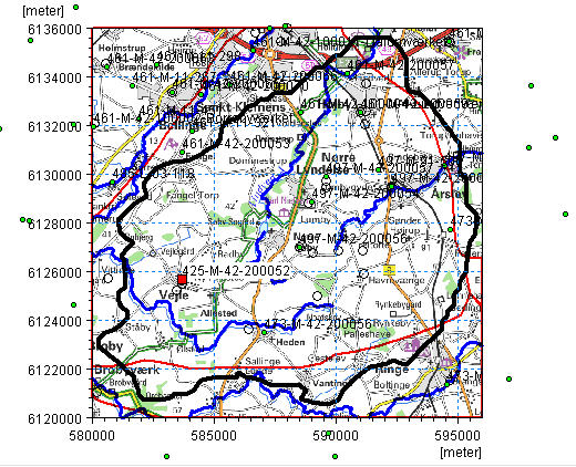
The interactive map displays all of the wells in the well file. Clicking on individual wells will select the corresponding item in the table of well locations. Similarly, selecting an item from the list will change the icon of the well on the map to a red square.
The overlays are automatically carried over from the model Setup Tab. You can’t add or modify overlays directly in the Well Editor. This must be down from the Setup Tab
Right clicking on the map, allows you to control the zoom and a number of other functions:
Grid - turns on/off a faint coordinate grid that changes with the zoom factor
Set new area coordinates - allows you to change the displayed area of the map
Text - turns on/off the display of the Well ID labels for the wells
Export Graphic - allows you to save the view to the clipboard, or a .bmp or wmf graphic file for importing into MSWord, for example.
![]()