This tool has been implemented to transform ESRI’s Ascii Grid files (*.asc) into MIKE21 grid data files (.dfs2).
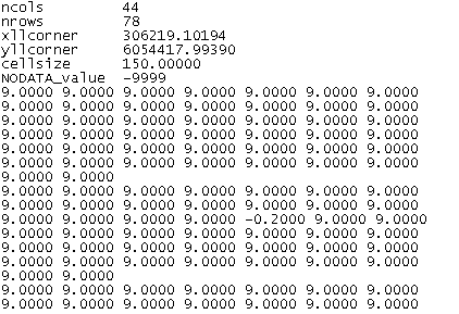
An example of ESRI’s ArcView Grid Ascii format is shown below.
Figure 10.1 Example of input asc file. Only part of file (the top) is shown)
The tool assumes that the levels and grid spacing units are in metres.
![]()