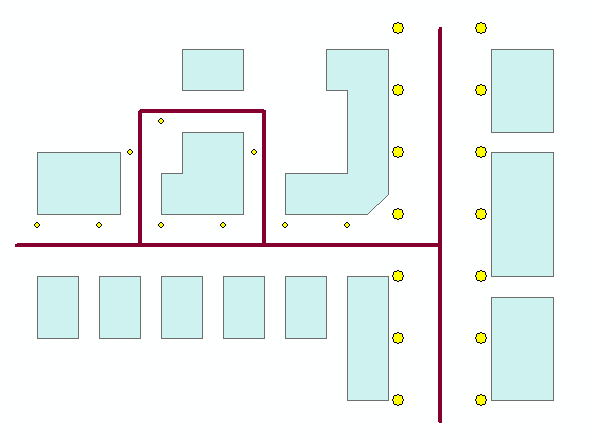
The input data consists of three shape files:
· Houses - described by polygons
· Roads - described by polylines
· Lights - described by points
The field ‘ZValue’ describes the height of the lamp post
Figure 14.1 shows how the data can be displayed in ArcMap.
Figure 14.1 Shape file data displayed in ArcMap
![]()