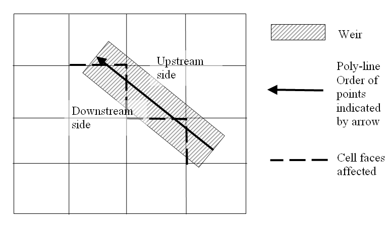
The location of a structure is given by a number of geo-referenced points which together make up a poly-line. The poly-line defines the width of the structure perpendicular to the flow direction e.g. for a weir it will describe the location of the crest in the horizontal plan view. For a culvert the poly-line should be given as a line perpendicular to the flow direction and further the line should intersect the mid point of the culvert.
Figure 6.24 The location of a weir. Note the affected cell faces
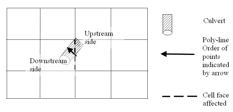
Figure 6.25 The location of a culvert. Note the affected cell face
A cell face is affected if the defining poly-line intersects the line segment connecting the mid points of the two adjacent grid cells. The flow through the structure is evenly distributed along the affected cell faces.
![]()